Hellolaroux Massane Argelestourisme Hellolaroux 6673 1Hellolaroux Massane Argelestourisme Hellolaroux 6673 1
©Hellolaroux Massane Argelestourisme Hellolaroux 6673 1|Hellolaroux

On foot Hiking in Argelès-sur-Mer

Not afraid of heights? Then you’ve come to the right place. In Argelès-sur-Mer, we like to go from the Mediterranean to the Pyrenees in no time. Higher, faster, more fun!

Prepare your cardio and activate your hiking mode!

Do you like to explore nature from every angle? Whether it’s a family outing, a hike or a trail, there are a thousand ways to explore Argelès-sur-Mer. And just as many challenges!

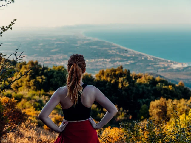
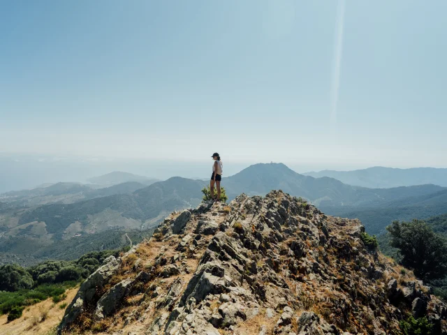
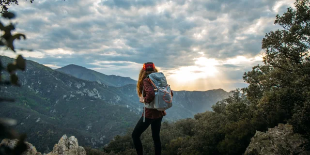
The many signposted trails will take on their full dimension in front of the exceptional panorama you’ll discover from Valmy.

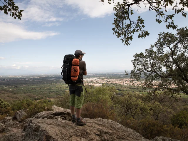
Whether you’re a stroller or a hiker, make the most of the Mediterranean landscapes on offer.

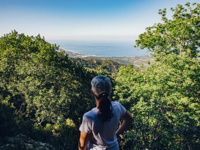
Argelès-sur-Mer la naturelle boasts a range of landscapes marked by its palette of seasons, allowing you to enjoy hiking all year round.

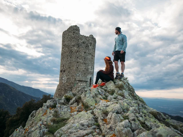
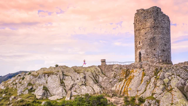
Drunk on altitude? Climb to the top of Argelès’ totem pole, the Massane Tower (794 m). In just a few hours, you’ll cross the maquis of the foothills steeped in the scent of flowers and the humus of the undergrowth.

Want to get closer to the city of painters, Collioure? Follow the sandy and rocky coastline towards the hamlet of Racou and cross the pebbly coves of Porteils, a listed site of the Conservatoire du Littoral.
Hiking in complete safety

TRAIL MARKINGS
FFRP (Fédération Française de Randonnée Pédestre) charter
PR: yellow paint for the Promenade Randonnée (PR) trail
GR: white and red paint for the Grande Randonnée (GR) trail.
The trail is also marked by cairns made of piles of stones.
Take with you the IGN TOP 25 2549 OT Banyuls – Col du Perthus map.

Directional signs indicate distances in km and actual walking times
and actual walking times (not including breaks).

HIKER’S CHARTER
– Prepare and choose your itinerary according to your physical abilities and the weather.
– Avoid setting off alone, and give someone close to you information about your route.
– Carry a rucksack with 1.5 l of water/person, sweet food, a cell phone, clothing suited to the season, a first-aid kit and good footwear.
– Consult Météo France for local weather conditions.

SHARING SPACE
– Respect nature – it’s your home.
-You will be crossing private property for which the owners have given their permission.
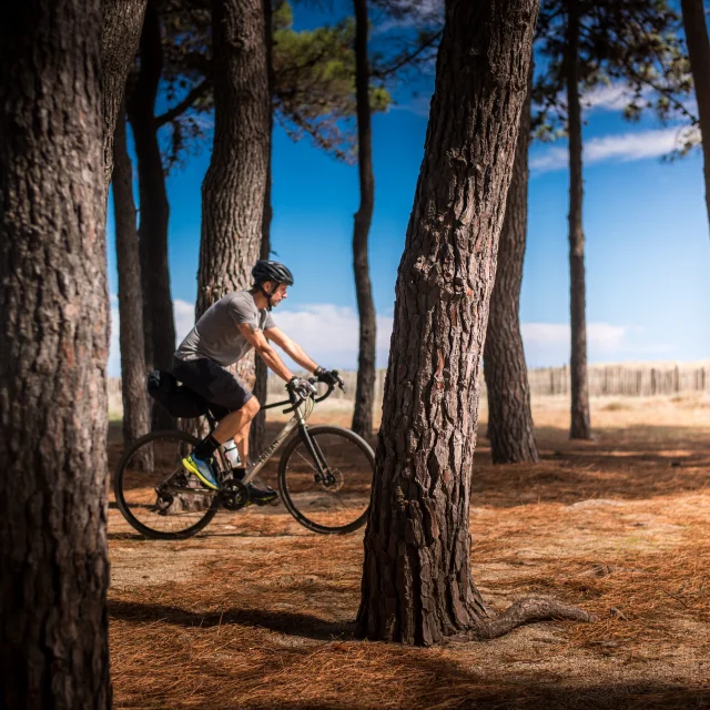
– Share trails with cyclists.
– Stay away from herds and isolated animals.
– Respect forestry work and trail maintenance.

FIRE RISKS
In summer, the Albera massif is subject to a fire risk prevention plan.
In the event of moderate risk: exercise caution.
In case of high risk: motorized vehicle traffic is prohibited on the entire network of trails serving the massif (except for owners and beneficiaries).
In the event of exceptional risk: all motorized vehicle, foot, horse and bicycle traffic is prohibited on the entire network of trails and paths serving the massif concerned.

Walk, meet, and enjoy!

From time immemorial, farmers have shaped the crests with pastoralism; the foothills with viticulture, olive growing and cork oak forests; and the nourishing plains with arboriculture, market gardening and meadows.

To whet your taste buds, discover the quality products of this typical Roussillon region: olive oils, wines, cheeses, fruit and vegetables…

Close